The high country around Mount Rogers is better known for balds than for waterfalls, which is a shame, because the water that falls off those balds has to go somewhere. It goes down steep creeks through rhododendron, and several of them drop hard enough to be worth the walk.
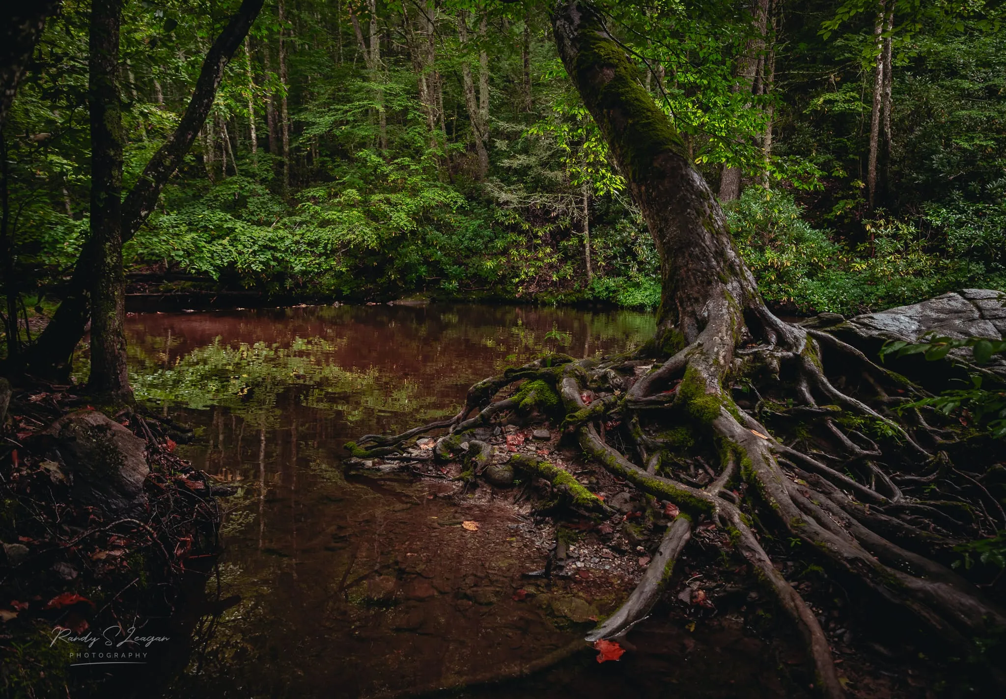
The stream that runs through our field is Cabin Creek. Follow it up into Grayson Highlands and you reach the first waterfall on this list.
Cabin Creek Falls — Grayson Highlands State Park
Distance: about a 2-mile loop from Massie Gap. Drop: twin cascades of roughly 25 feet each.
The Cabin Creek Trail leaves from the Massie Gap parking area and drops into the woods on the opposite side of the gap from the ponies. It’s a loop, mostly shaded, with a steep stretch down to the creek and the falls at the bottom. The two cascades sit close together in a rhododendron hollow and they run well after rain; in a dry August they’re quieter but still worth it.
This is the one to do if you have an afternoon. Pair it with the Rhododendron Trail up the other side of the gap and you’ve had ponies and a waterfall from one parking spot. The park charges a parking fee; it’s the same fee that covers the balds.
Comers Creek Falls — near Dickey Gap
Distance: about 0.6 miles each way. Drop: about 15 feet.
Comers Creek Falls Trail starts from a small pull-off on VA-741 just off VA-16, near Dickey Gap. The path follows the creek for a little under half a mile to the Appalachian Trail; turn right on the AT and the falls are a couple of hundred yards further. It’s a short, easy walk to a modest but pretty cataract in a tight little gorge, and because it’s on the AT you’ll sometimes share it with thru-hikers taking a break.
We shuttle to Dickey Gap, so this works as the bonus at the end of a section hike or as a stop on the way to Hurricane Campground. It’s less than half an hour from us.
Fox Creek Falls — Fairwood Valley
Distance: roadside. Drop: a small cascade.
The easiest waterfall in the area is also the most overlooked. Fox Creek runs along VA-603 through Fairwood Valley, below the north side of Mount Rogers, and there’s a point where it drops through a series of ledges right beside the road. You can see it from the car and be at the water in a minute. It isn’t tall and it isn’t dramatic, but it’s a good place to put your feet in on a hot day, and it’s on the way to the Mount Rogers trailhead and the Fox Creek horse camp.
VA-603 is the quiet way around the mountain. If you’re driving from us to Troutdale or Marion rather than taking I-81, go this way and stop.
Rowland Creek Falls — the big one
Distance: a long day; the loop is close to 12 miles, the out-and-back to the falls is shorter. Drop: a cascade of around 100 feet.
This is the tallest waterfall in the Mount Rogers National Recreation Area and the one that takes the most effort. Rowland Creek Falls slides down a long rock face in a series of steps, and in spring or after a wet week it’s genuinely impressive. The trail climbs along the creek through hemlock and rhododendron, and there’s a swimming hole on the way up.
The approach is from the north side of the recreation area, well off the US-58 corridor, so it’s a driving day plus a walking day. Save it for a full day with good weather, and take the Forest Service map; this part of the forest has had trail and road damage since Helene and signage isn’t always where you’d want it.
When they run best
Spring is the season. Snowmelt plus spring rain means every one of these is at full volume from March into May. Rowland Creek especially.
After rain, any month. The high country catches weather that the valleys miss. A storm on the balds overnight means Cabin Creek is loud the next morning.
Late summer is the low. August and September can be dry up here. The falls still run, but Fox Creek becomes a trickle and the twin cascades at Cabin Creek thin out. Go for the shade rather than the spectacle.
Winter is ice. Comers Creek and Cabin Creek both freeze into formations on the right week, and the walk to either is short enough to be safe in the cold. Spikes on the rock steps. See our winter guide for what else changes.
Which one, for the time you have
- An hour: Fox Creek Falls, from the car.
- A half day: Cabin Creek Falls, and the balds on the same parking fee.
- A half day with a shuttle: Comers Creek Falls at the end of a walk down from Dickey Gap.
- A full day: Rowland Creek Falls.
Staying nearby
We’re on Highway 58 at AT mile 496.5, 2.4 miles from the Grayson Highlands entrance, with the real Cabin Creek running through the bottom of the field — there are trout in it. Bunkhouse beds, a glamping yurt, a glamping tent, tent sites and car camping, all with the heated indoor shower. Book a stay or ask us which falls are running.