The stretch of Appalachian Trail through the Mount Rogers high country has a good spread of shelters, which is fortunate, because it also has some of the most exposed walking on the whole trail. When the weather turns on the balds there is nowhere to hide, and knowing what’s ahead of you stops being an academic question.
This is a plain rundown of the shelters in and around our stretch — mile 496.5 — and what each is actually useful for.
Thomas Knob
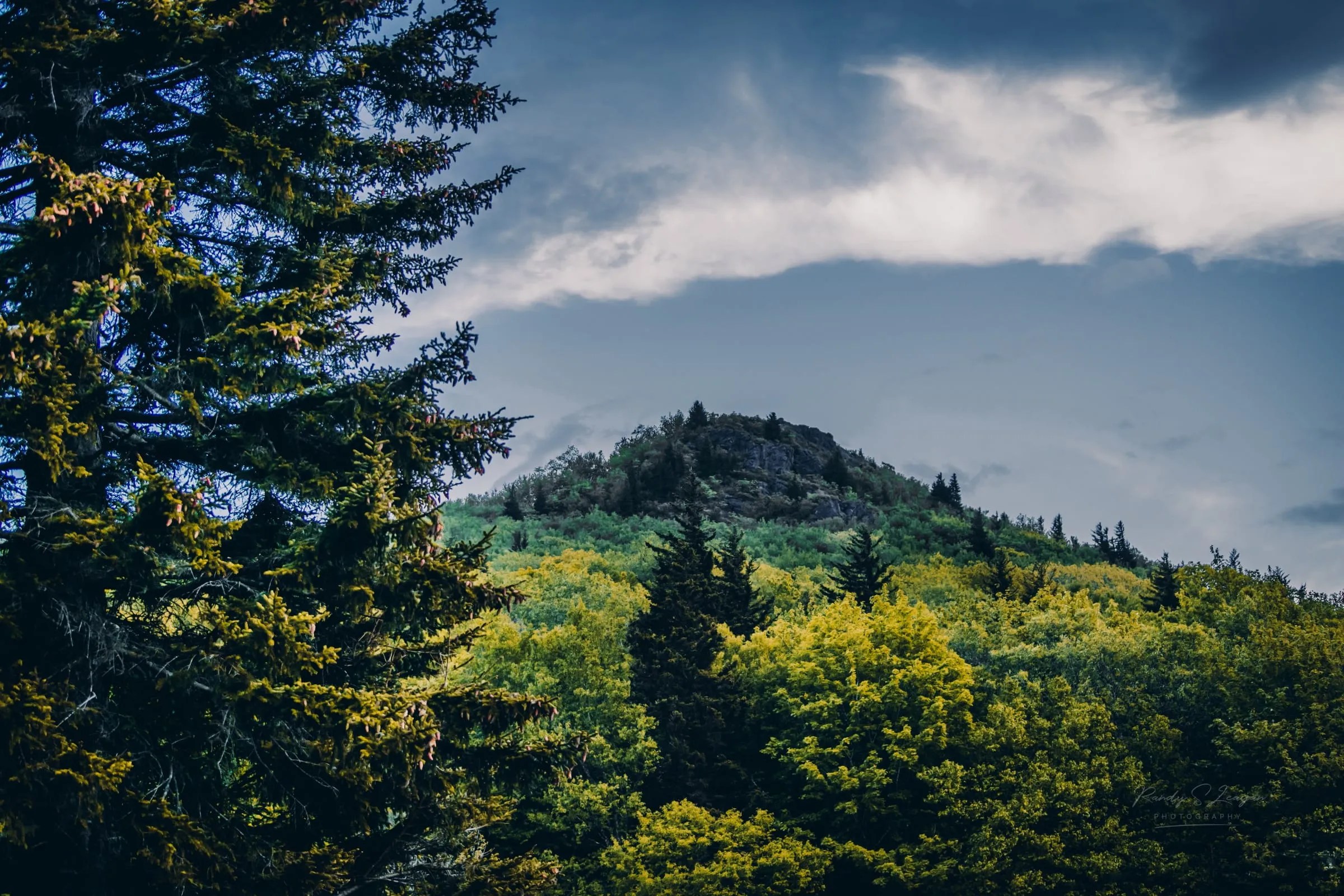
The high one, sitting near the spur trail to the Mount Rogers summit at around 4,800 feet. It’s the shelter most people aim for on a Grayson Highlands traverse, and the views from the area are the best of any shelter around here.
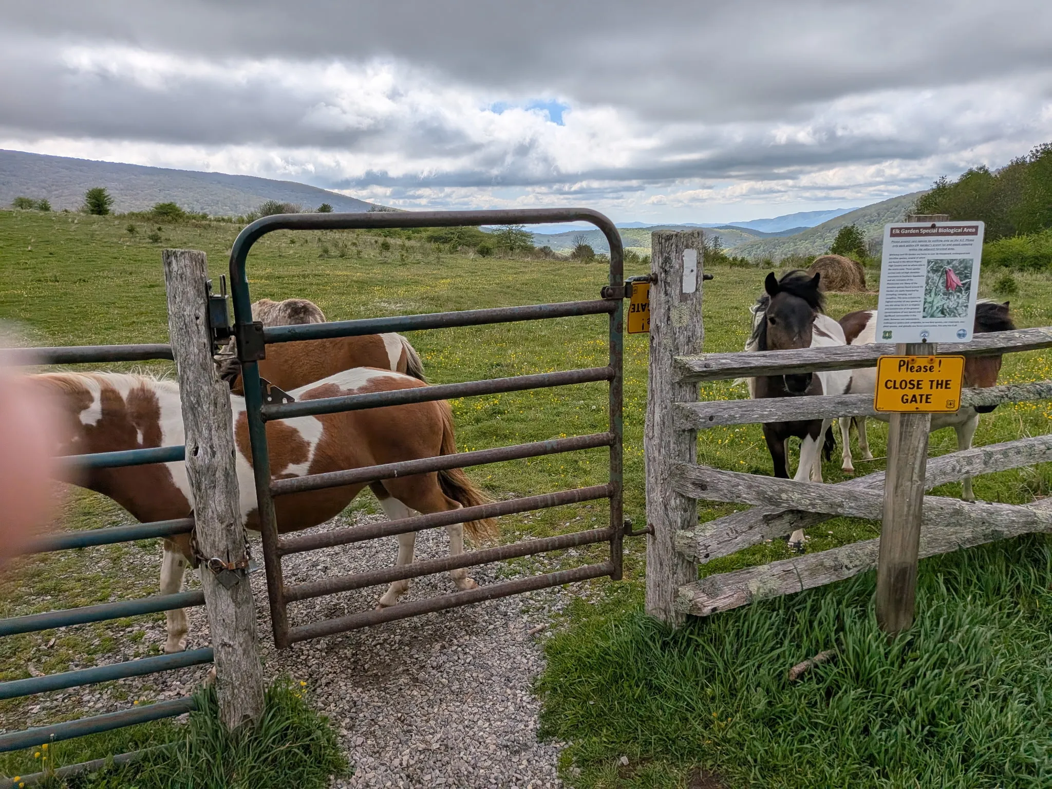
Two things to plan around. First, it’s high and exposed — it can be cold and blowing when the valley is calm and pleasant. Second, the ponies know exactly what a shelter is. Hang everything, including anything salty, and don’t leave a pack open while you fetch water.
Wise Shelter
Inside Grayson Highlands State Park, lower and more sheltered than Thomas Knob, sitting near the water at the northern end of the park’s AT section. A more comfortable night than the high country when weather is coming through, and the usual stop for people walking through the park rather than over the top of it.
Old Orchard Shelter
Off the high balds in the trees, in the Mount Rogers National Recreation Area. Less dramatic and considerably more pleasant in bad weather — a good bail-out if you get to the high ground and decide you don’t fancy it.
Trimpi Shelter
North of the high country, toward VA-16 and Dickey Gap. This is the one that matters if you’re linking a longer section northbound, and it’s a common target for hikers being dropped at or collected from Dickey Gap.
Lost Mountain Shelter
South, on the way toward Damascus. The useful one if you’re heading down off Whitetop toward town, or coming up from Damascus and want to break the climb.
Planning the section
A few things that are true here and not everywhere:
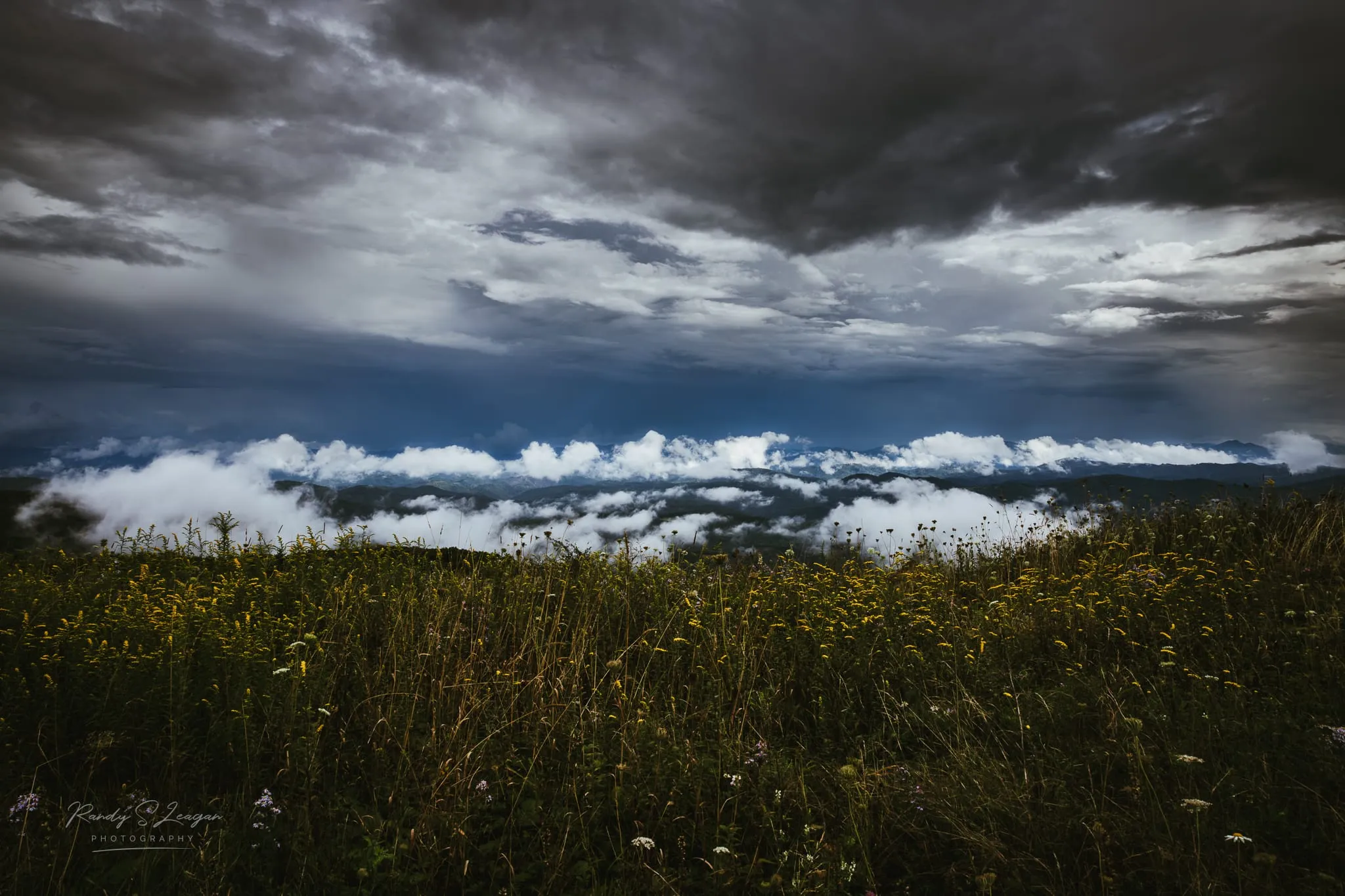
The balds are fully exposed. Between Elk Garden and Grayson Highlands there is no tree cover to speak of. Wind and lightning are the real hazards, not the mileage.
Water is generally good but check the season. Springs run well most of the year up here. Late summer is when to ask rather than assume.
Mileage lies on this section. The rocky ground through Rhododendron Gap is slow, and everyone stops for the ponies. Budget more time than the map suggests.
There is essentially no cell signal. Sort out your pickup arrangements before you walk in, not from the trail.
Shelters fill in October. SOBO season and leaf season land on top of each other. Carry a tent and assume the shelter is full.
Getting to and from the trailheads
Access is the awkward part. Elk Garden, Massey Gap, Dickey Gap, and Bear Tree Gap are all a long way apart by road even where they’re close on the trail, which is why point-to-point days here almost always need a shuttle.
We run them. Call (276) 280-6253 or send a message with your date, your trailheads, and how many of you there are. More on the shuttles page, and there’s a fuller write-up of how the trailheads connect.
A bed and a shower either end
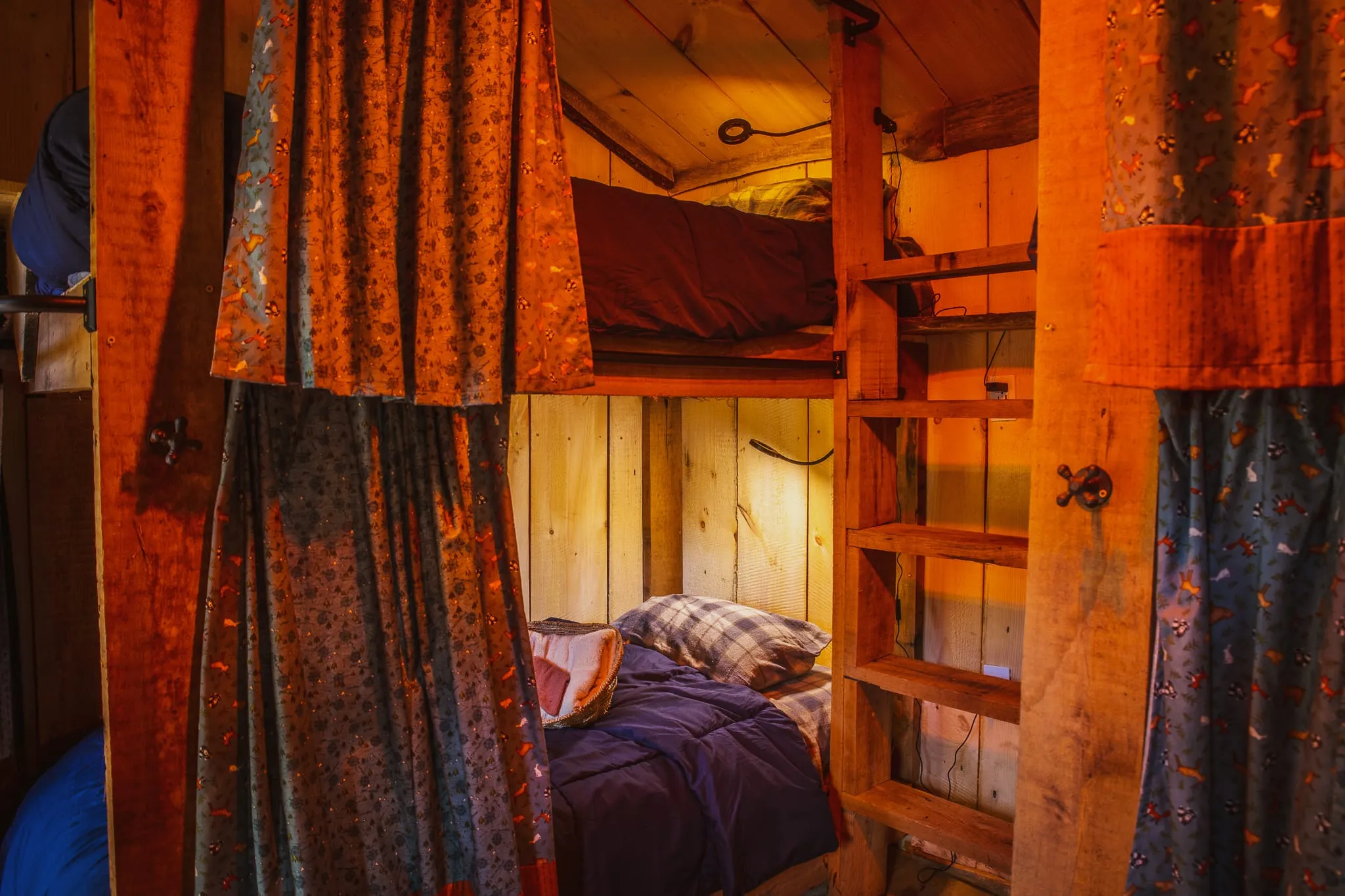
Most people doing this section stay the night before, the night after, or both. We’re at 10425 Highlands Parkway in Mouth of Wilson, right off Highway 58 — bunkhouse, yurt, glamping tent, tent sites and car camping, with an indoor heated shower, a rec room, Starlink WiFi, and a grill deck on the creek.
See the stay page or book directly. If something broke on trail, we rent replacements — rentals page.