The stretch of Appalachian Trail between Damascus and Grayson Highlands is some of the best walking in Virginia — open balds, wild ponies, the highest ground in the state. It is also awkward to hike without a car shuttle, because the good sections are linear and the parking areas are a long way apart by road.
That’s the problem a shuttle solves. Here’s how it works around here.
The trailheads we serve
We run shuttles to and from the trailheads in the Mount Rogers and Grayson Highlands area, plus Damascus. The ones hikers ask for most:
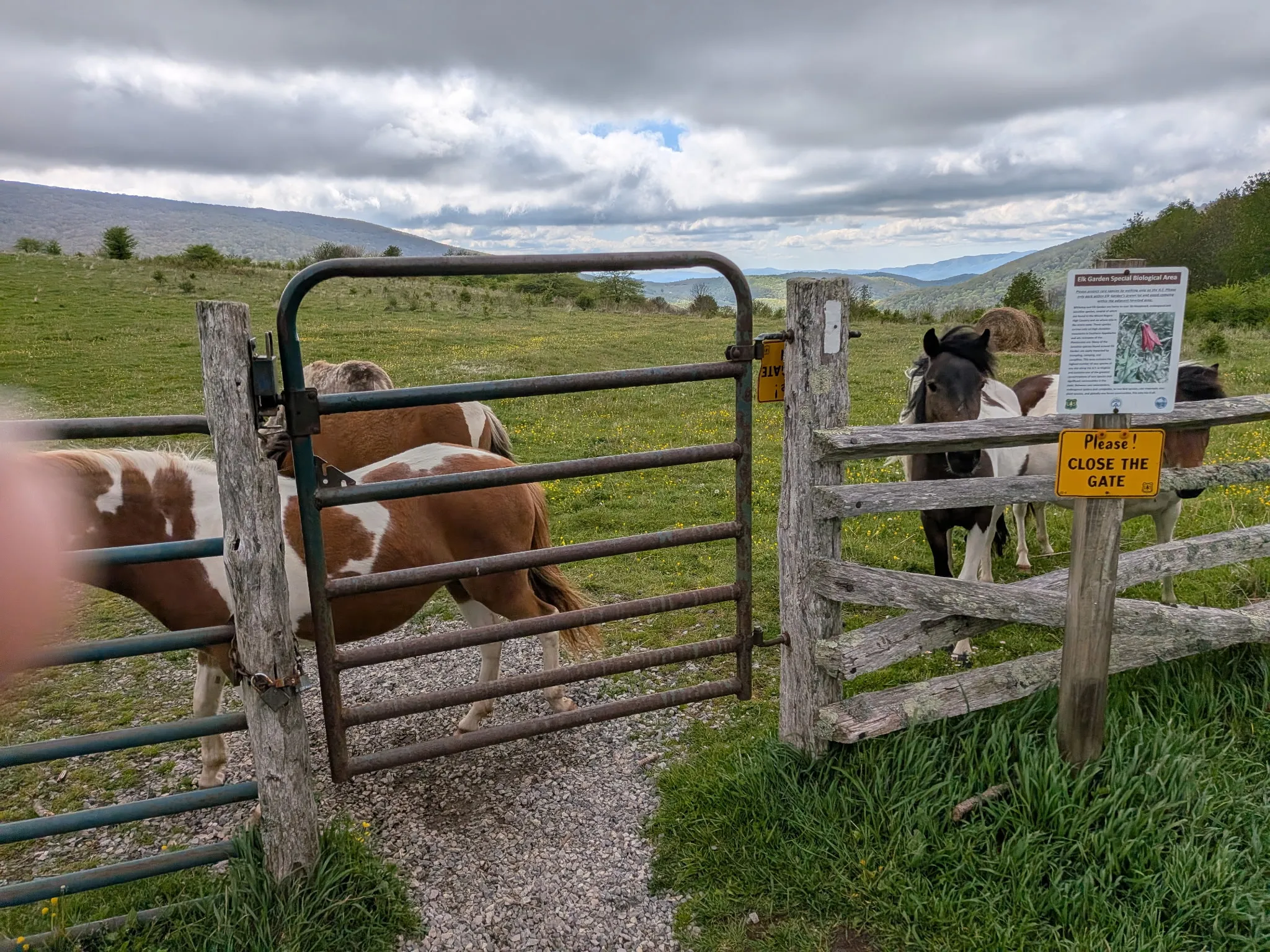
- Elk Garden — the gap on VA-600 between Whitetop Mountain and Mount Rogers. The most common starting point for a hike toward Grayson Highlands, and the shortest approach to the Mount Rogers summit spur.
- Massey Gap — inside Grayson Highlands State Park. This is the pony access point, and the usual finish for a day hike coming from Elk Garden.
- Dickey Gap — north end of the section, on VA-16. Useful if you’re linking a longer stretch toward Trimpi Shelter.
- Bear Tree Gap — closer to Damascus, handy for shorter days or a Virginia Creeper Trail combination.
- Damascus — Trail Town USA, resupply, and the Creeper Trail terminus.
If the trailhead you want isn’t on that list, call and ask anyway. We know the roads.
Planning a one-way section hike
The move most people want is a point-to-point day: get dropped at one trailhead, walk to another, get picked up — or walk back to the hostel. A few things that make it go smoothly:
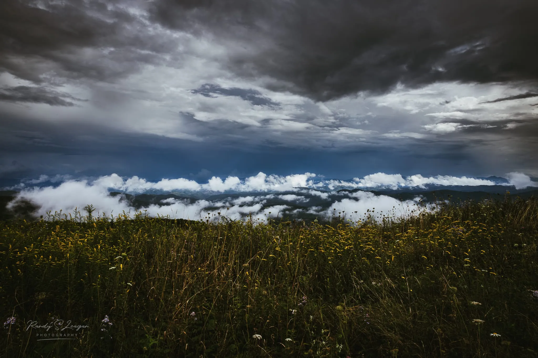
Pick your direction based on the weather, not the map. The balds between Elk Garden and Grayson Highlands are fully exposed. If a front is coming through, you want the wind at your back and the option to bail early. Walking toward Massey Gap gives you a road and a parking lot to quit at.
Build in more time than the mileage suggests. This is not flat trail, and the rocky sections through Rhododendron Gap slow everyone down. Add time for the pony photos, because you are going to stop for the pony photos.
Tell us your actual pace, not your best pace. We’d rather stage the pickup correctly than have you sprinting the last two miles in the dark. There is no cell signal on most of this section, so we can’t easily adjust once you’re moving.
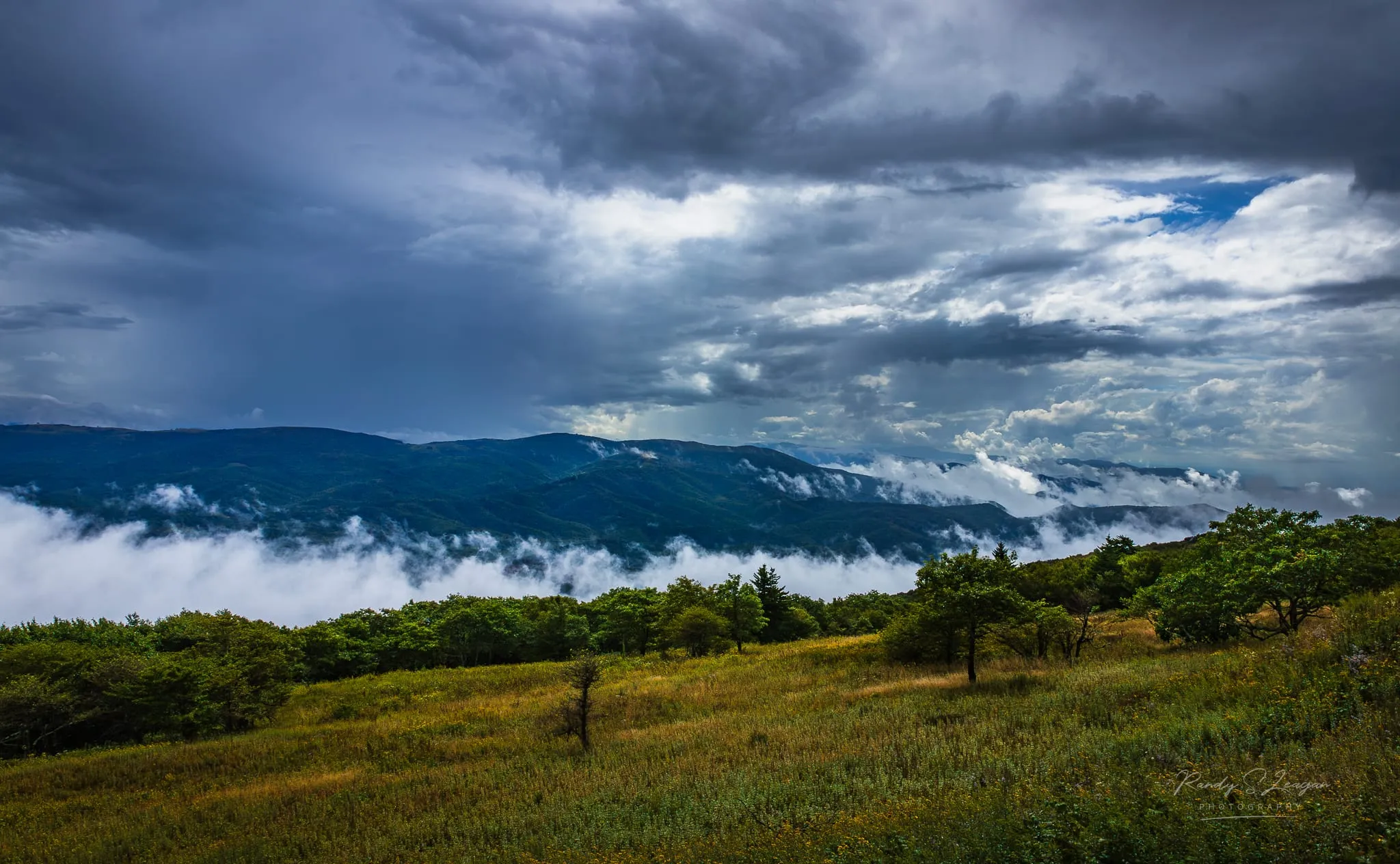
Have a fallback. Weather turns fast at 5,000 feet, even in July. Agree on what happens if you come off early.
Booking a shuttle
Call (276) 280-6253 or send us a message with:
- Date and rough time
- Pickup point and drop-off point
- How many people, and how much gear
- Whether you need it one way or both
Rates depend on the trailhead and the number of people, so it’s a conversation rather than a price list. Call ahead — especially on fall weekends, when Grayson Highlands gets busy and we’re already running.
Full details are on the shuttles page.
If you’re missing gear
We rent backpacking equipment too — full pack setups or individual pieces, which is genuinely useful if a stove died or a tent pole snapped a few days back. Details on the rentals page.
Where to sleep either side of it
Most people shuttling this section stay the night before, the night after, or both. We have a bunkhouse, a yurt, a glamping tent, tent sites, and car camping on the creek bank. There’s an indoor heated shower, a rec room, Starlink WiFi, and a grill deck on the creek. See the stay page for what’s available, or book directly.
We’re at 10425 Highlands Parkway in Mouth of Wilson, right off Highway 58 — close enough to the trail that the logistics stop being a headache.